





Description
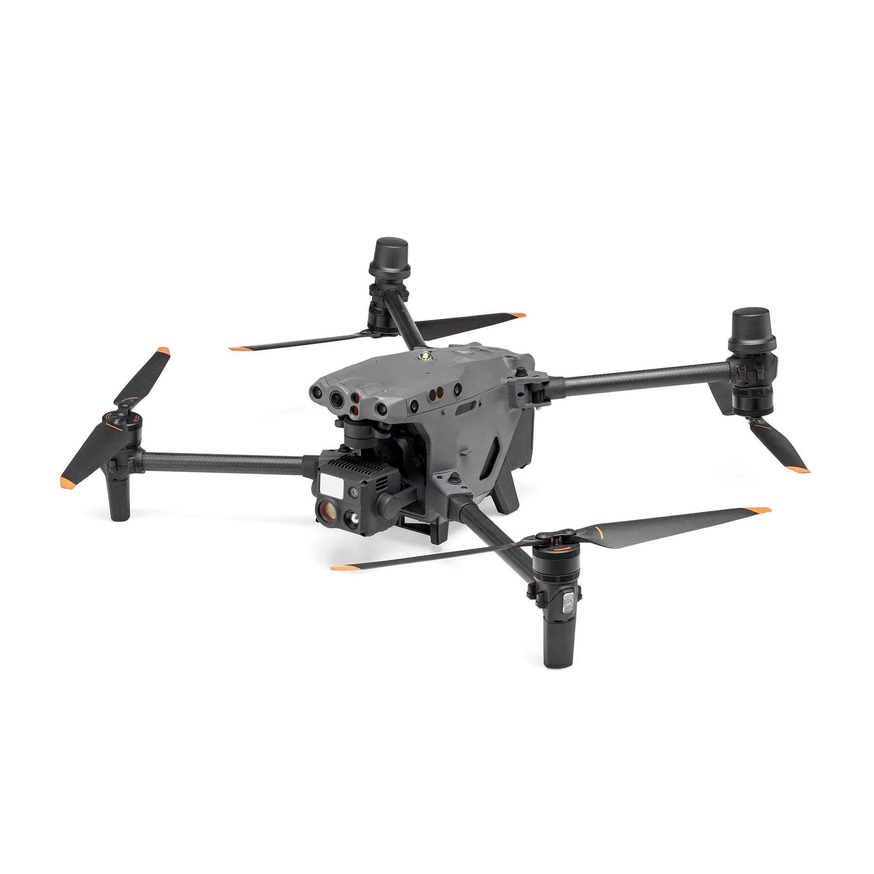
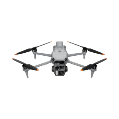
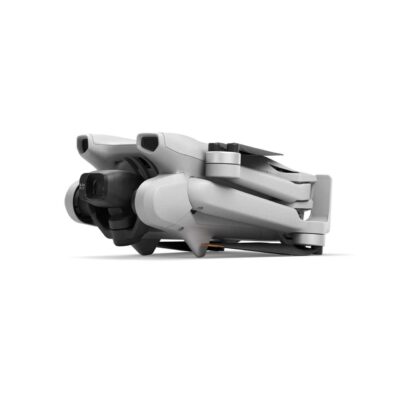
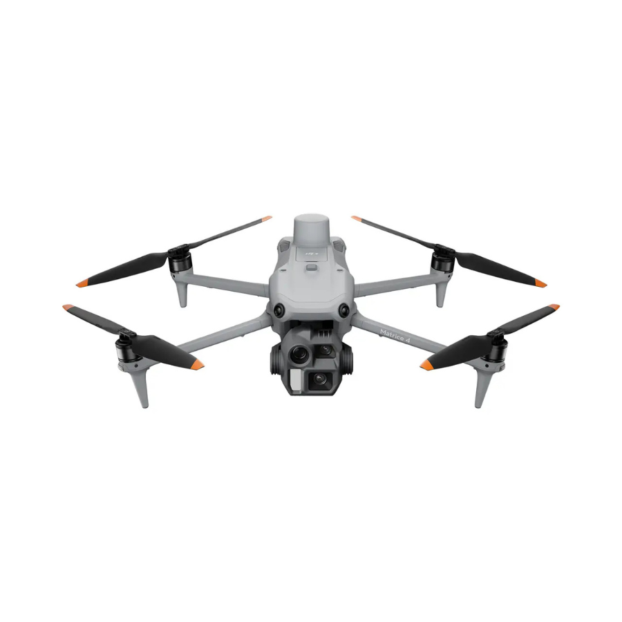
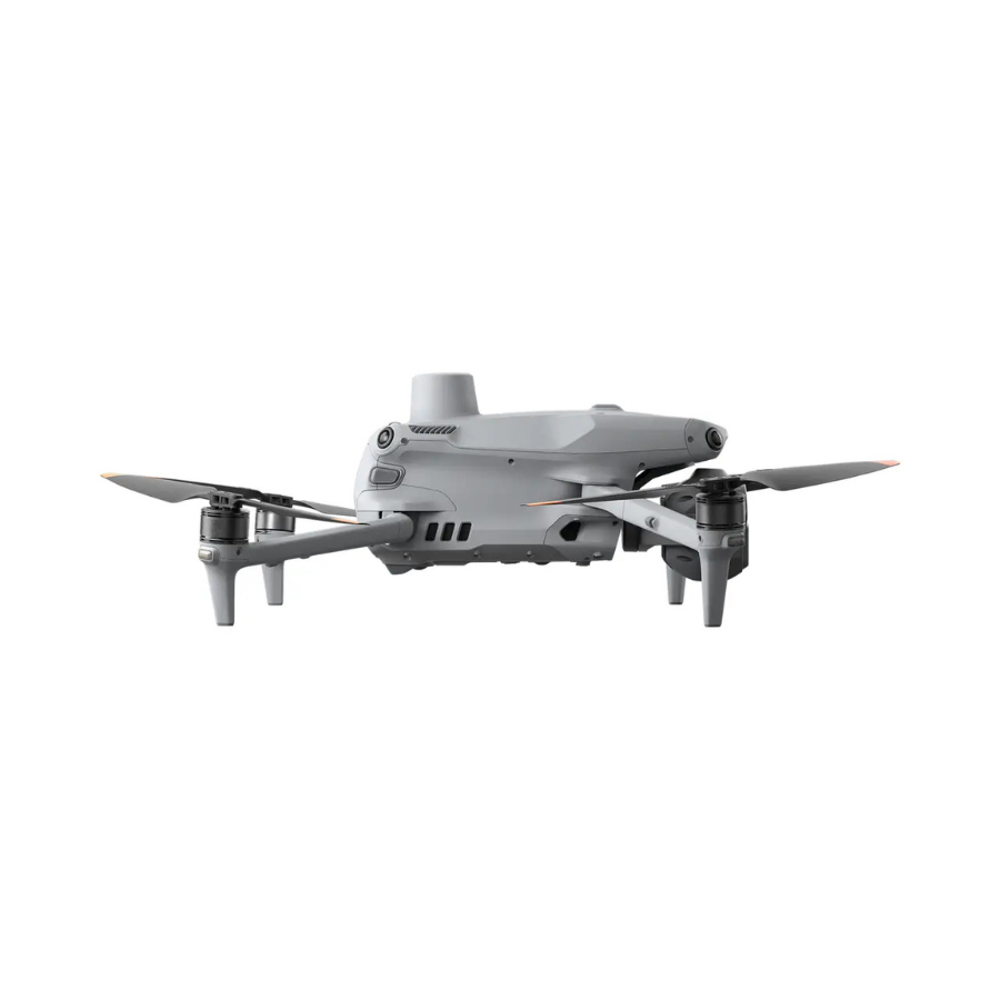
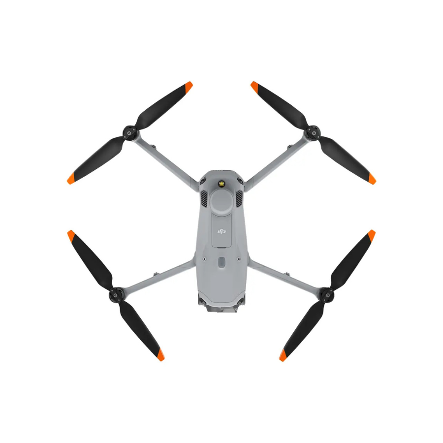
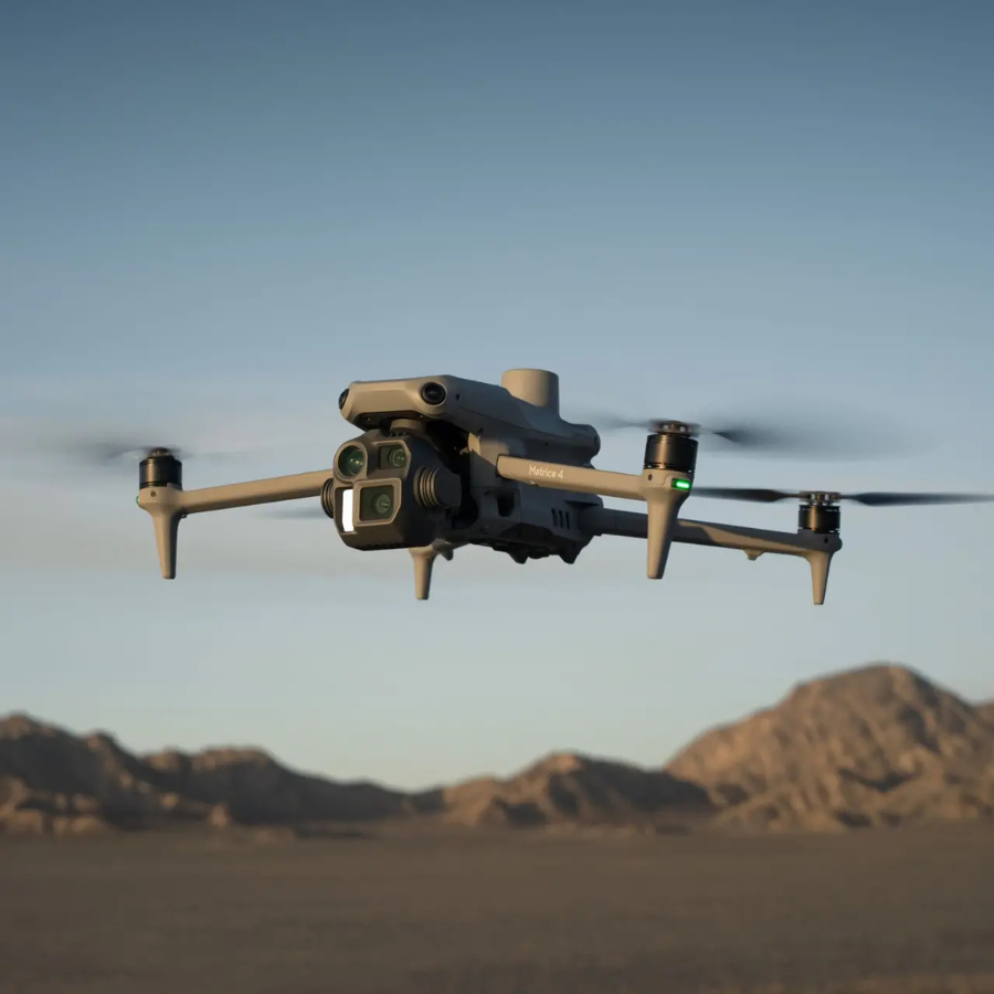
The DJI Matrice 4E is an advanced drone solution tailored for professional and industrial applications. Engineered with precision, it combines exceptional flight performance with state-of-the-art aerial imaging capabilities. The drone features robust hardware and intelligent systems designed to optimize efficiency and safety in demanding environments. Its lightweight and modular design ensure adaptability for various industries, including mapping, surveying, and inspection. Equipped with AI-powered smart functions, it enhances operational workflow, enabling real-time decision-making. The Matrice 4E offers seamless integration with DJI’s ecosystem of payloads and software. It features a durable construction, making it reliable even in harsh conditions. With extended flight time and high-precision navigation, it ensures consistent and reliable performance. Comprehensive service and support options deliver peace of mind for professionals. This solution is ideal for those seeking high-end drone technology without compromise.
Features
| Feature | Details |
|---|---|
| Camera | 4/3-inch CMOS, 20 MP resolution, 56x hybrid zoom for high-quality imaging. |
| Flight Time | Maximum of 49 minutes with efficient power management. |
| Operating Temperature | Reliable performance in -10°C to 40°C, suitable for diverse environments. |
| Navigation System | Advanced GNSS and RTK technology for precise positioning. |
| Payload Capacity | Supports versatile payloads for mission-specific requirements. |
| Speed | Reaches a top speed of 21 m/s for fast and efficient operations. |
| Wind Resistance | Resilient against strong winds, ensuring stable performance. |
| Intelligent Flight Modes | Includes waypoints, terrain follow, and more for enhanced mission planning |


Accessory Upgrades
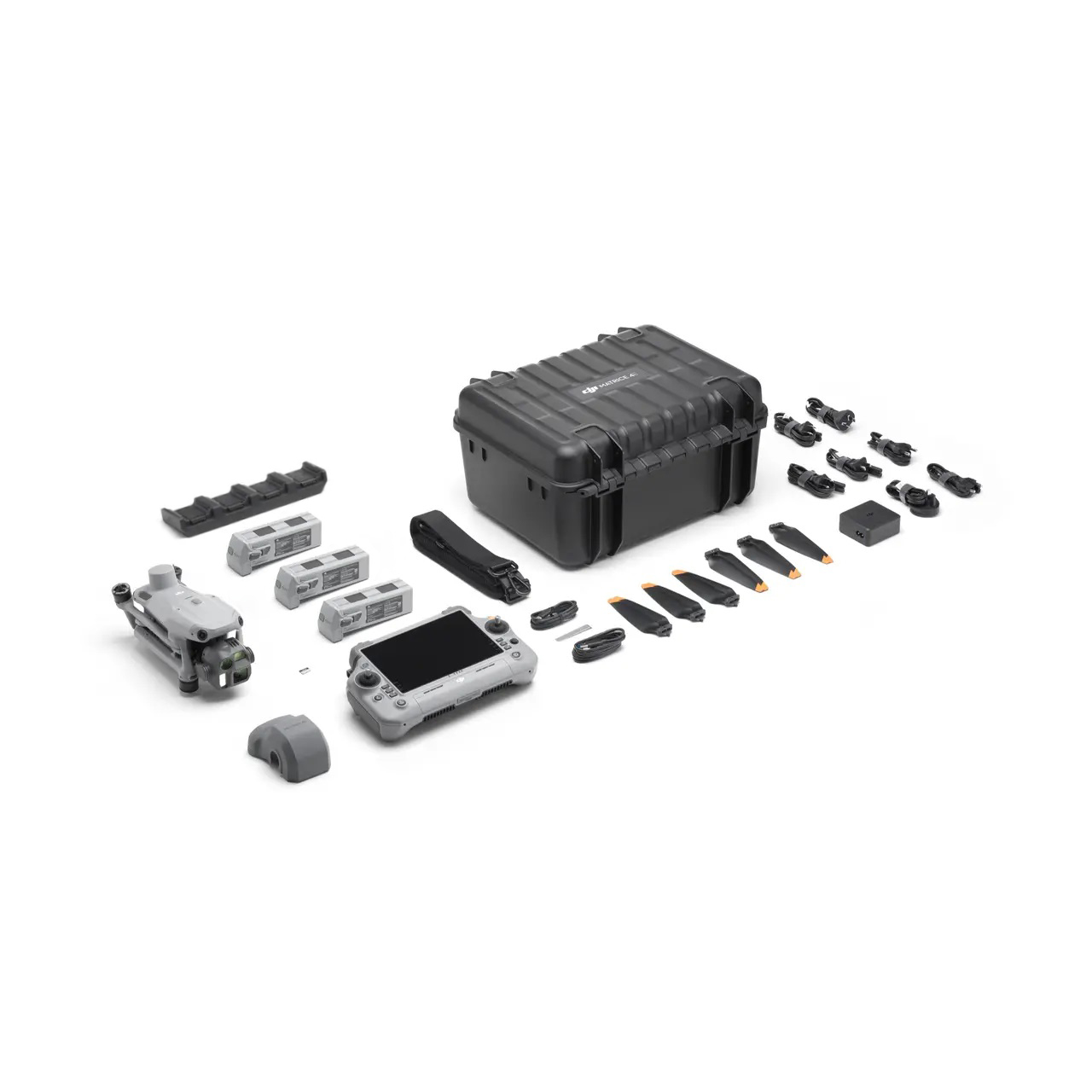
Upgrade your experience with options like the Gimbal-Following Spotlight, Real-time Voice Speaker, D-RTK 3 Multifunctional Station, and the DJI RC Plus 2 Enterprise Remote Controller for improved functionality and control.

The DJI Matrice 4E is a professional enterprise drone designed to deliver exceptional performance for surveying, mapping, inspection, construction, and public safety operations. Combining advanced imaging technology, intelligent flight capabilities, and enterprise-grade reliability, the Matrice 4E empowers professionals to collect accurate data, improve operational efficiency, and complete complex aerial missions with confidence.
Built for demanding commercial applications, the DJI Matrice 4E features a robust and efficient flight platform capable of performing in a wide range of environments. Its compact yet durable design makes transportation and deployment simple, allowing teams to respond quickly to project requirements. Whether conducting land surveys, infrastructure inspections, environmental monitoring, or construction site assessments, the Matrice 4E provides the reliability needed for mission-critical tasks.
At the core of the Matrice 4E is an advanced imaging system designed to capture highly detailed aerial data. The high-resolution camera delivers sharp images with excellent clarity and color accuracy, making it ideal for photogrammetry, mapping, and inspection workflows. Professionals can generate accurate orthomosaic maps, 3D models, and detailed reports while reducing the time and effort required for traditional data collection methods.
The drone is equipped with advanced RTK positioning technology, providing centimeter-level accuracy for surveying and mapping applications. This precision enables operators to collect reliable geospatial data with minimal ground control points, increasing productivity and improving project efficiency. The integration of RTK technology makes the Matrice 4E an excellent choice for engineers, surveyors, and GIS professionals who require highly accurate results.
Flight performance is another key strength of the DJI Matrice 4E. The aircraft offers extended flight endurance, allowing users to cover larger areas in a single mission. Intelligent battery management systems help maximize operational efficiency while ensuring reliable performance throughout the flight. This capability is especially valuable for large-scale mapping projects and infrastructure inspections where productivity is essential.
Safety remains a top priority in the Matrice 4E platform. Advanced obstacle sensing and avoidance systems help the drone detect and navigate around obstacles in complex environments. Combined with intelligent return-to-home functions, precise navigation systems, and stable flight controls, these safety features help reduce operational risks and provide greater confidence during missions.
The DJI Matrice 4E also supports intelligent flight modes and automated mission planning tools that simplify complex workflows. Operators can create repeatable flight paths, automate mapping missions, and collect consistent data with minimal manual intervention. These capa
bilities not only improve efficiency but also enhance the quality and reliability of the collected information.
Designed with enterprise users in mind, the Matrice 4E integrates seamlessly into professional workflows. Its compatibility with DJI’s enterprise software ecosystem enables efficient mission planning, real-time monitoring, and streamlined data management. This integration helps organizations make informed decisions based on accurate aerial intelligence.
Overall, the DJI Matrice 4E is a powerful and versatile enterprise drone solution for professionals seeking precision, efficiency, and reliability. With advanced imaging capabilities, RTK accuracy, intelligent automation, extended flight performance, and industry-leading safety features, it provides everything needed to successfully complete modern aerial surveying, mapping, inspection, and commercial drone operations.
The DJI Matrice 4E is a professional enterprise drone designed to deliver exceptional performance for surveying, mapping, inspection, construction, and public safety operations. Combining advanced imaging technology, intelligent flight capabilities, and enterprise-grade reliability, the Matrice 4E empowers professionals to collect accurate data, improve operational efficiency, and complete complex aerial missions with confidence.
Built for demanding commercial applications, the DJI Matrice 4E features a robust and efficient flight platform capable of performing in a wide range of environments. Its compact yet durable design makes transportation and deployment simple, allowing teams to respond quickly to project requirements. Whether conducting land surveys, infrastructure inspections, environmental monitoring, or construction site assessments, the Matrice 4E provides the reliability needed for mission-critical tasks.
At the core of the Matrice 4E is an advanced imaging system designed to capture highly detailed aerial data. The high-resolution camera delivers sharp images with excellent clarity and color accuracy, making it ideal for photogrammetry, mapping, and inspection workflows. Professionals can generate accurate orthomosaic maps, 3D models, and detailed reports while reducing the time and effort required for traditional data collection methods.
The drone is equipped with advanced RTK positioning technology, providing centimeter-level accuracy for surveying and mapping applications. This precision enables operators to collect reliable geospatial data with minimal ground control points, increas
ing productivity and improving project efficiency. The integration of RTK technology makes the Matrice 4E an excellent choice for engineers, surveyors, and GIS professionals who require highly accurate results.
Flight performance is another key strength of the DJI Matrice 4E. The aircraft offers extended flight endurance, allowing users to cover larger areas in a single mission. Intelligent battery management systems help maximize operational efficiency while ensuring reliable performance throughout the flight. This capability is especially valuable for large-scale mapping projects and infrastructure inspections where productivity is essential.
Safety remains a top priority in the Matrice 4E platform. Advanced obstacle sensing and avoidance systems help the drone detect and navigate around obstacles in complex environments. Combined with intelligent return-to-home functions, precise navigation systems, and stable flight controls, these safety features help reduce operational risks and provide greater confidence during missions.
The DJI Matrice 4E also supports intelligent flight modes and automated mission planning tools that simplify complex workflows. Operators can create repeatable flight paths, automate mapping missions, and collect consistent data with minimal manual intervention. These capabilities not only improve efficiency but also enhance the quality and reliability of the collected information.
Designed with enterprise users in mind, the Matrice 4E integrates seamlessly into professional workflows. Its compatibility with DJI’s enterprise software ecosystem enables efficient mission planning, real-time monitoring, and streamlined data management. This integration helps organizations make informed decisions based on accurate aerial intelligence.
In addition to its mapping and surveying capabilities, the DJI Matrice 4E is highly effective for infrastructure inspection tasks. Utility companies, telecommunications providers, and engineering teams can use the drone to inspect power lines, transmission towers, bridges, pipelines, and industrial facilities safely and efficiently. By capturing detailed aerial imagery from difficult-to-access locations, the Matrice 4E reduces the need for manual inspec
tions, helping organizations save time, lower costs, and improve worker safety.
The platform is also well-suited for construction monitoring and project management. Construction teams can use the drone to track site progress, measure stockpile volumes, monitor equipment placement, and generate accurate site documentation throughout the project lifecycle. The ability to collect up-to-date aerial data allows stakeholders to make informed decisions and maintain project schedules more effectively.
Environmental agencies and research organizations can benefit from the Matrice 4E’s ability to conduct large-scale monitoring missions. From land-use analysis and vegetation assessments to environmental impact studies, the drone provides reliable data that supports informed planning and resource management.
With its advanced imaging capabilities, RTK precision, intelligent automation, extended flight performance, enterprise software integration, and comprehensive safety systems, the DJI Matrice 4E stands as a complete aerial solution for modern professional operations. Whether used for mapping, surveying, inspections, construction management, or environmental monitoring, the Matrice 4E delivers the accuracy, efficiency, and reliability that professionals need to achieve outstanding results in the field.
LEARN MORE.